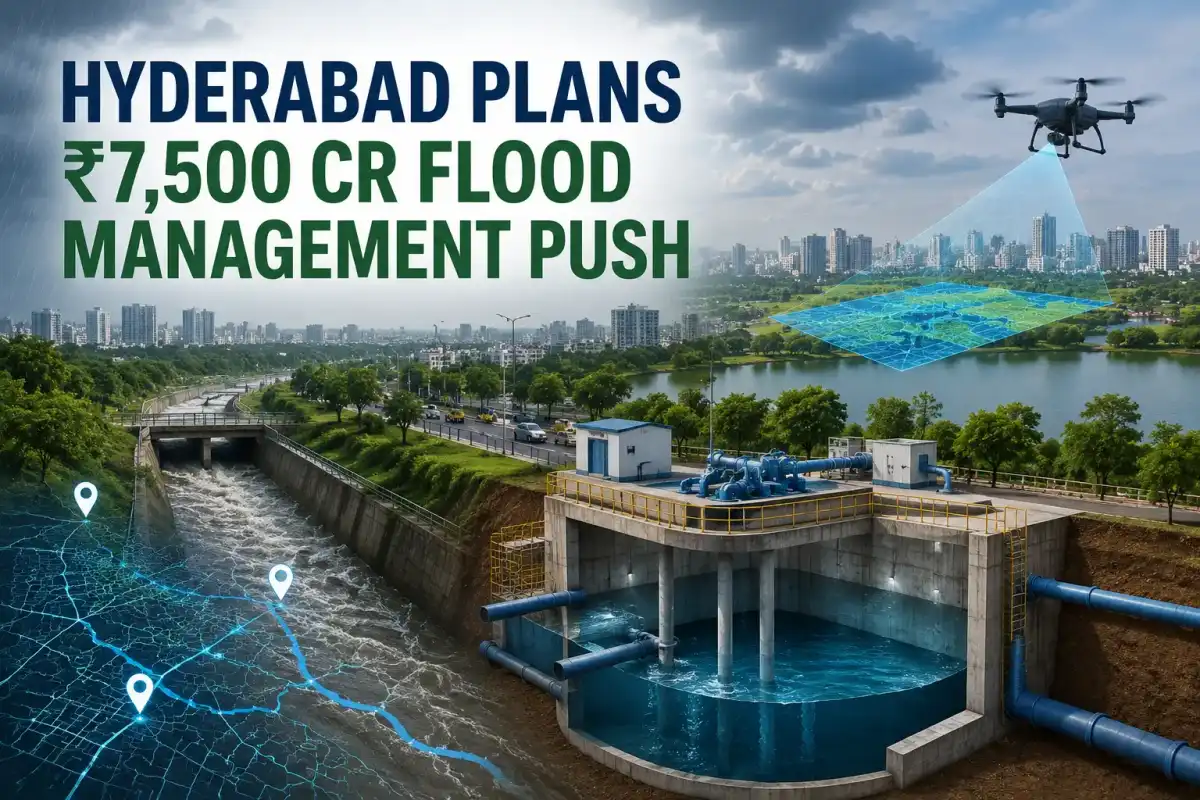
Hyderabad: Hyderabad is looking at a major expansion of its flood-management infrastructure, with a proposed investment of around ₹7,500 crore being reported for a comprehensive programme aimed at reducing urban flooding and improving the city’s ability to respond to extreme rainfall.
The reported plan includes a combination of pumping stations, underground storage reservoirs, comprehensive stormwater-drain mapping, GIS-based flood modelling, early-warning systems and large-scale 3D surveying. The proposed exercise is expected to cover the city’s broader urban region within the Outer Ring Road (ORR).
However, the ₹7,500 crore figure and the complete package of proposed works have not yet been found in a publicly available detailed government project document. The figure is currently being circulated in reports and social-media posts. Official and institutional sources do confirm that Telangana has been moving towards technology-driven flood management, drainage mapping and restoration of water bodies.

Focus on the entire drainage network
A key component of the reported programme is the creation of a comprehensive digital database of Hyderabad’s stormwater drainage system. This would help authorities identify existing drains, their carrying capacity, bottlenecks, inundation-prone locations and connections between different drainage channels.
Telangana’s geospatial infrastructure already contains detailed layers for nalas, inundation areas, proposed and existing drain widths, tanks, rivers, canals and stream networks. The Telangana Remote Sensing Applications Centre (TGRAC) maintains GIS layers covering these features, including areas within the ORR region.
Such a digital drainage map could allow authorities to identify locations where stormwater gets trapped during intense rainfall and determine where widening, desilting, new connections or additional infrastructure may be required.
Underground reservoirs and pumping stations
The reported proposal also envisages underground storage reservoirs and pumping stations as part of the city’s flood-control infrastructure.
The idea is to temporarily store excess rainwater when the existing drainage network cannot immediately carry the runoff and then release or pump the water in a controlled manner. Such infrastructure could be particularly useful in heavily built-up areas where acquiring large parcels of land for conventional surface-level reservoirs is difficult.
The exact locations, capacities and number of proposed reservoirs and pumping stations have not yet been officially detailed in the publicly available sources reviewed for this report.
3D survey of Hyderabad’s wider urban region
Another significant element being reported is a 3D survey of the Core Urban Region within the ORR. High-resolution terrain and elevation data can play an important role in understanding how rainwater moves across an urban landscape.
Hyderabad has previously used aerial and geospatial mapping for infrastructure planning. The National Remote Sensing Centre (NRSC), for example, lists aerial photography and 3D utility mapping projects involving Hyderabad, as well as digital topographic and terrain database work.
A detailed modern survey could provide authorities with information on ground elevations, drainage gradients, road levels, low-lying areas and natural water-flow paths. This data can subsequently be incorporated into hydraulic and flood models.
GIS and flood modelling to predict waterlogging
The proposed technology component is particularly important because Hyderabad has already been the subject of GIS-based flood modelling studies.
Researchers have used 1D and 2D flood models to simulate extreme rainfall, identify overflowing drainage nodes and generate inundation and flood-risk maps for parts of Hyderabad. Such models can help authorities determine which locations are likely to be affected when rainfall exceeds the capacity of existing drains.
A 2025 study on Hyderabad’s urban flood vulnerability found that around 11% of the city’s assessed area was classified as very highly vulnerable and another 24% as highly vulnerable, highlighting the scale of the challenge.
More recently, research published in 2026 found a strong spatial relationship between rainfall, inundation and sewer-overflow hotspots across Hyderabad’s watersheds. The study also demonstrated how geospatial information and real-time citizen reports could be integrated into flood-risk dashboards.
NRSC-HYDRAA collaboration already provides a digital foundation
The proposed push also builds on existing cooperation between the National Remote Sensing Centre (NRSC) and the Hyderabad Disaster Response and Asset Protection Agency (HYDRAA).
In April 2025, NRSC and HYDRAA signed an MoU to collaborate on geospatial data for disaster management and protection of water resources. The agreement envisages a Bhuvan-based web portal integrating four decades of geospatial databases for the Telangana Core Urban Region using remote sensing, GIS and field data.
The system is intended to help authorities monitor water bodies and government assets and support disaster-management decisions.
Restoring lakes and protecting natural drainage channels
Flood management is not expected to depend only on new infrastructure. The Telangana government and HYDRAA have also been focusing on restoring water bodies and removing encroachments affecting natural drainage.
In March 2026, Chief Minister A. Revanth Reddy inaugurated the HYDRAA-restored Nalla Cheruvu in Kukatpally and called for the restoration of lakes, removal of nala encroachments and improvement of Hyderabad’s urban infrastructure.
The state government has also directed HYDRAA, GHMC and HMWSSB to coordinate on desilting drains and related preventive measures.
Hyderabad’s earlier flood blueprint
The reported ₹7,500-crore plan comes against the backdrop of earlier attempts to create a comprehensive flood-mitigation strategy for Hyderabad.
A 2018 study by the Centre of Excellence in Disaster Management at JNTU Hyderabad, in collaboration with GHMC, identified 229 waterlogging locations spread across about 750 sq km and proposed a flood-management strategy estimated at around ₹4,900 crore. A 2026 report noted that much of that blueprint remained unimplemented.
The new approach, if formally approved in the reported form, would therefore represent a significantly larger investment and a stronger emphasis on digital mapping, predictive modelling and engineered storage infrastructure.
What the proposed ₹7,500 crore programme could mean
- Stormwater mapping: A comprehensive digital inventory of drains, nalas and related infrastructure.
- 3D terrain survey: High-resolution elevation data to understand natural and artificial water-flow paths.
- Flood modelling: GIS and hydraulic models to identify vulnerable areas before extreme rainfall events.
- Underground storage: Temporary storage facilities to manage excess stormwater during peak rainfall.
- Pumping infrastructure: Pumps could help move accumulated water from critical low-lying locations.
- Early warnings: Data-driven systems could provide advance alerts for areas at risk of inundation.
- Water-body protection: Restoration and protection of lakes and natural drainage channels could improve the city’s ability to absorb and convey rainfall.
A shift towards predictive flood management
For Hyderabad, the larger significance of the reported programme could be its shift from responding to flooding after heavy rain to predicting and managing flood risk before rainfall peaks.
With rapid urbanisation increasing paved and built-up surfaces, more rainwater can reach drainage networks in a shorter period. Detailed terrain data, real-time rainfall information, drainage maps and hydraulic models can help authorities identify vulnerable locations and plan interventions more scientifically.
For now, the ₹7,500 crore figure should be treated as a reported proposed investment rather than a formally confirmed final project cost. Details such as the final project scope, funding mechanism, individual projects, locations, implementation schedule and administrative approvals will need to be confirmed through official government documents.
If implemented at the reported scale, however, the programme could become one of Hyderabad’s most significant attempts to build a city-wide flood-resilience system, combining conventional drainage infrastructure with GIS, remote sensing, 3D mapping, flood modelling and early-warning technology.