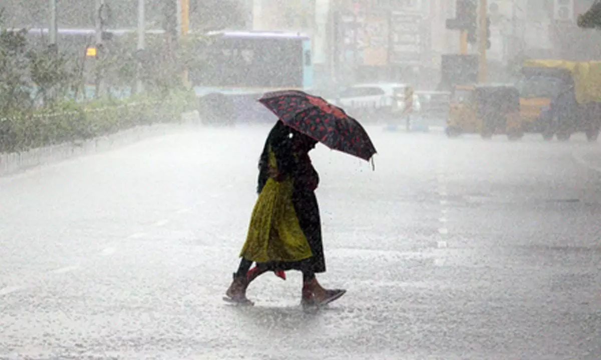
A new low pressure area has formed in the northeastern Bay of Bengal. According to the Meteorological Department, this could become a depression by the 27th of this month. Andhra Pradesh (AP) is under a yellow alert due to expected thundershowers in several districts today.
The India Meteorological Department (IMD) predicts heavy rain in eight districts: Kurnool, Nandyal, Anantapur, Sri Sathya Sai, Kadapa, Annamayya, Chittoor, and Tirupati. Moderate to heavy rains with thundershowers are likely in these areas.
In other districts like Srikakulam, Vizianagaram, Alluri Seetharamaraju, Konaseema, East Godavari, West Godavari, Eluru, Krishna, NTR, Guntur, Bapatla, Palnadu, Prakasam, and Nellore, light to moderate rain is expected with possible thundershowers.

In Telangana, heavy rains are likely due to the low pressure in the Bay of Bengal. Over the past few days, Hyderabad and nearby districts have seen significant rain, causing floods in low-lying areas. More heavy rain with thunder, lightning, and gusty winds up to 40 km/h is expected today and tomorrow in various districts.
Meteorologists note a surface circulation from southern Uttar Pradesh through Madhya Pradesh and Vidarbha into the southern Marathwada region. This extends from the north Andaman Sea to the south Bay of Bengal, the southern Andhra coast, Rayalaseema, north interior Karnataka, and the southern Maharashtra coast, forming a trough at 3.1 km above sea level.